
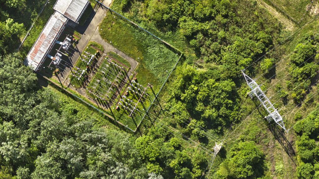
Our team has successfully performed the aerial survey (aerial imagery and LIDAR scanning) and mapping of the high-voltage power lines for the needs of the Serbian National Power System Operator Company (EMS AD).
LIDAR scanning was done at the resolution of a minimum 120 points/ m2 as to reduce the impact of vegetation and produce a high-quality digital terrain model (DTM), At the same time, the aerial imagery has been acquired to create an accurate orthophoto of the terrain at the resolution of 5cm.