
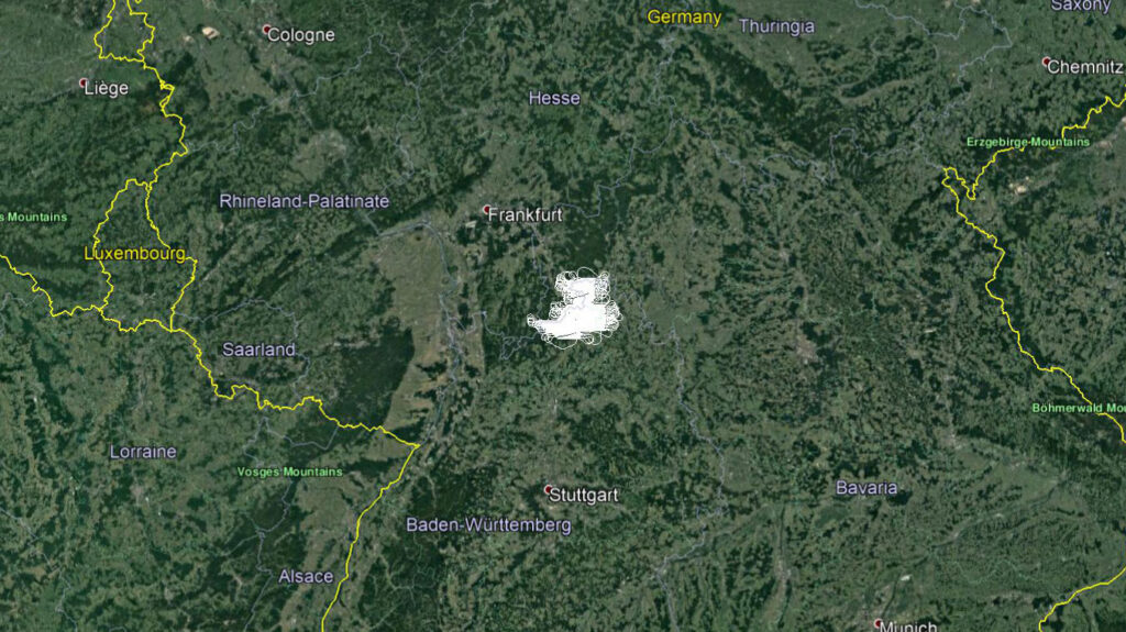
In this flying season, our team has successfully performed the aerial survey (LIDAR scanning) of the area in the Federal State of Baden-Württemberg – Germany.
The survey was done at the resolution of 8 points /m2 for the needs of the Service Center for Geoinformation and Rural Development of the German Federal Government (Landesamt für Geoinformation und Landentwicklung Baden-Württemberg).