
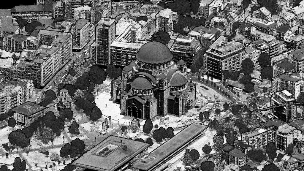
Our team has successfully performed the aerial survey (aerial imagery and LIDAR scanning) of the whole Belgrade area for the needs of Belgrade Land Development Public Agency/City of Belgrade.
LIDAR scanning was done at the resolution of a minimum 80 points/m2 what represents a real wealth of geospatial data and opens up countless possibilities for various products and analyses that can be generated with LIDAR scanning data and aerial imagery. It is something that only few cities can boast of such a treasure. At the same time, the aerial imagery has been done to create an accurate orthophoto of the terrain at the resolution of 5cm.