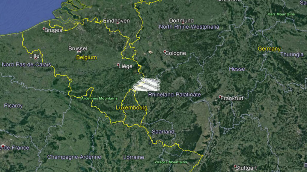
Our team has successfully performed the aerial survey (LIDAR scanning) in the Federal State of Rheinland-Pfalz – Germany.
The survey was done at the resolution of 4 points /m2 for the needs of the Federal Agency for Geodetic and Geospatial Information (Landesamt für Vermessung und Geobasisinformation Rheinland-Pfalz).
